Eyes above the Ice
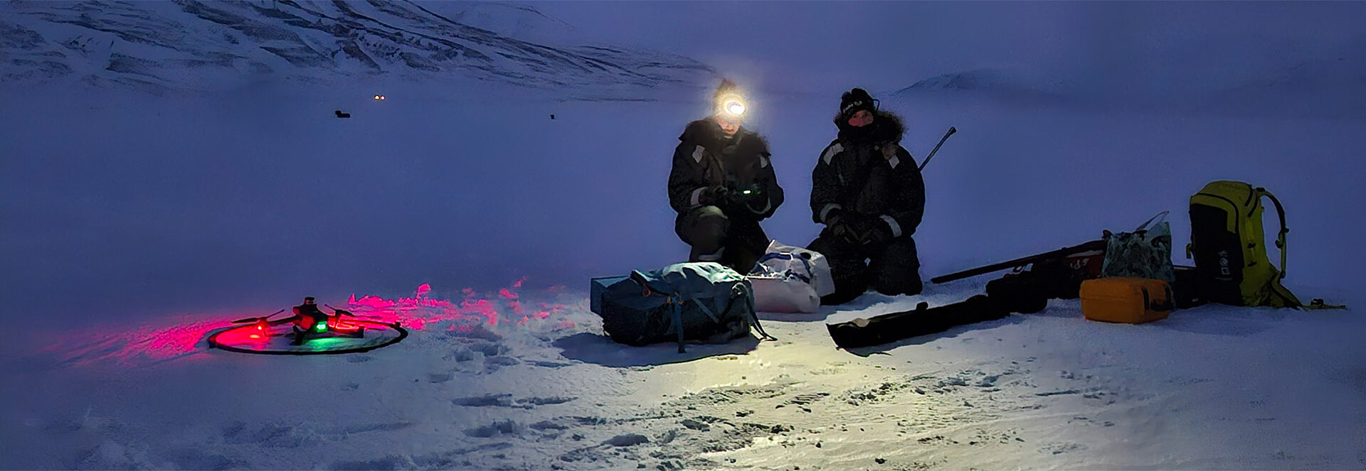
Like all fieldwork, remote sensing campaigns begin early and end late. In the Arctic, however—where polar night and endless daylight alternate—the concepts of day and time tend to blur. During the long winter, fieldwork begins, continues, and ends in darkness.
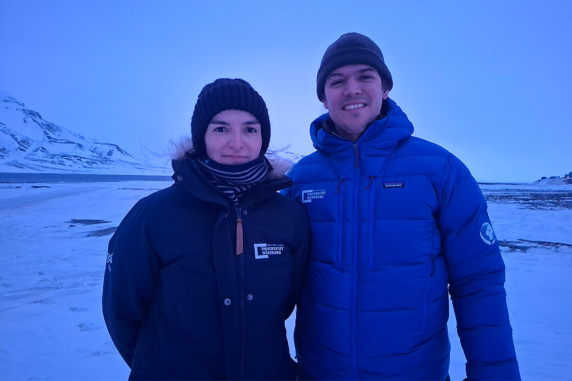
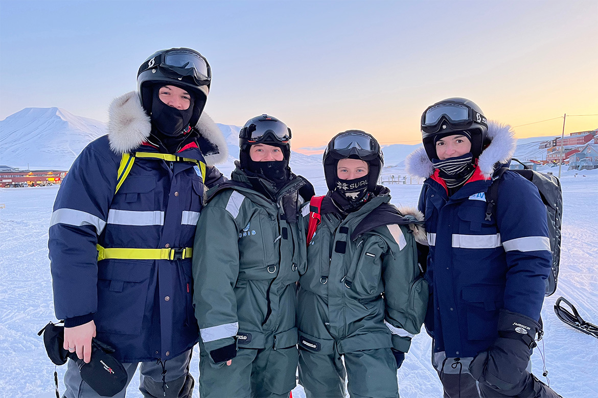
For Dr. Mirjana Bevanda, the day starts at around 5 a.m. with strong coffee and careful packing of warm drinks and food into insulated containers. A postdoctoral researcher at the Earth Observation Research Cluster (EORC) at Julius-Maximilians-Universität Würzburg, Bevanda and her colleagues study Arctic ecosystems using drones and other unoccupied aerial systems (UAS).
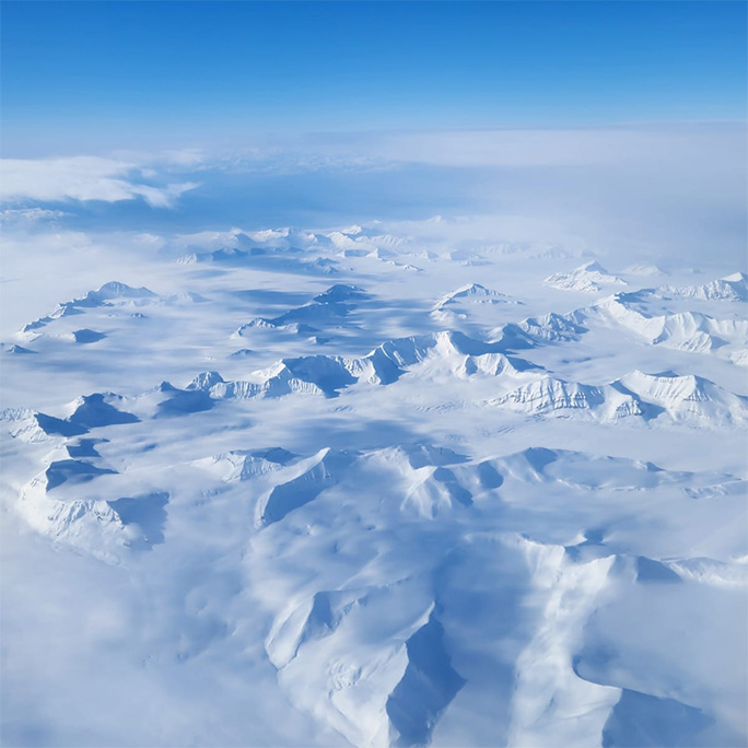
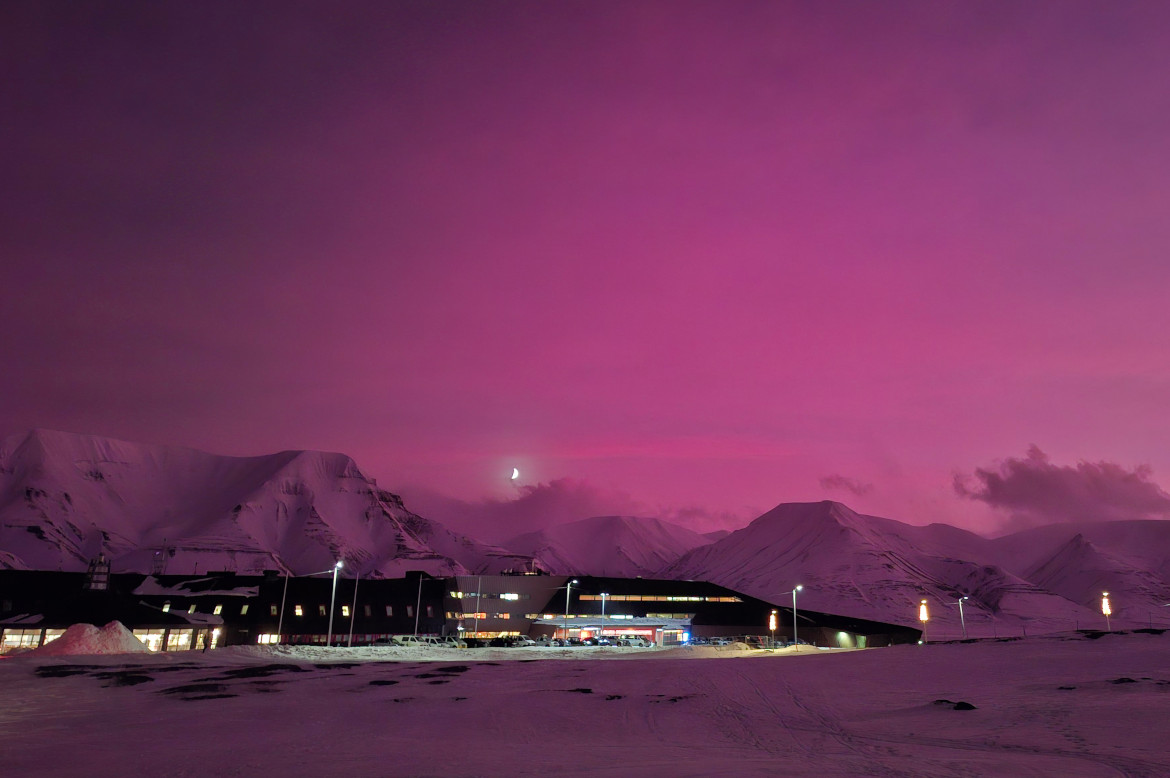
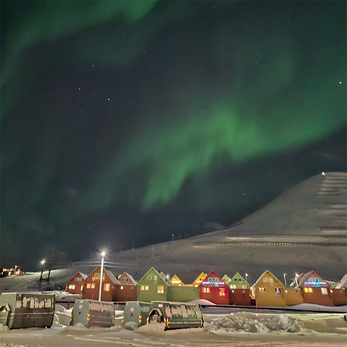
Their work has taken them as far north as possible in Europe—to Svalbard (formerly Spitzbergen), a Norwegian archipelago just 1,000 kilometers from the North Pole. In this landscape dominated by ice and snow, Norwegian universities and the Norwegian government have established the University Centre in Svalbard (UNIS) an institution devoted entirely to Arctic research. The University of Würzburg maintains a close collaboration with UNIS through several joint research projects.
Life and Danger at the Edge of the World
Working in this extraordinary setting comes with extraordinary challenges. Temperatures often plunge below –20°C and working days can stretch up to 12 hours or more. Layers of thermal clothing are just the beginning. When mounting their snow scooters—riding them is no simple task in itself—researchers carry rifles in addition to their research and safety equipment. Svalbard is home to the polar bear, the world’s largest land predator. This animal equally curious and unpredictable in its behaviour. To prepare for such conditions, Bevanda completed key elements of the Arctic Safety Training, including firearm practice.
The researcher is acutely aware of the dangers such an environment poses: "We follow strict safety measures. No fieldwork is ever conducted solo; redundancy and teamwork are essential," she explains.
A Question of Resolution
After earning her Diploma in ecology in Würzburg, Bevanda completed her doctorate at the University of Bayreuth, where she focused on animal movement and the influence of landscapes on behaviour. Remote sensing was already part of her research then. "Remote sensing helps fill data gaps in biodiversity research," she says. "As a hotspot of environmental change, the Arctic offers a window into how shifts in climate can affect whole ecosystems."
The Arctic—a hotspot of environmental change—offers a window into how shifts in climate can affect whole ecosystems.Dr. Mirjana Bevanda, Postdoc at the Earth Observation Research Cluster, JMU Würzburg
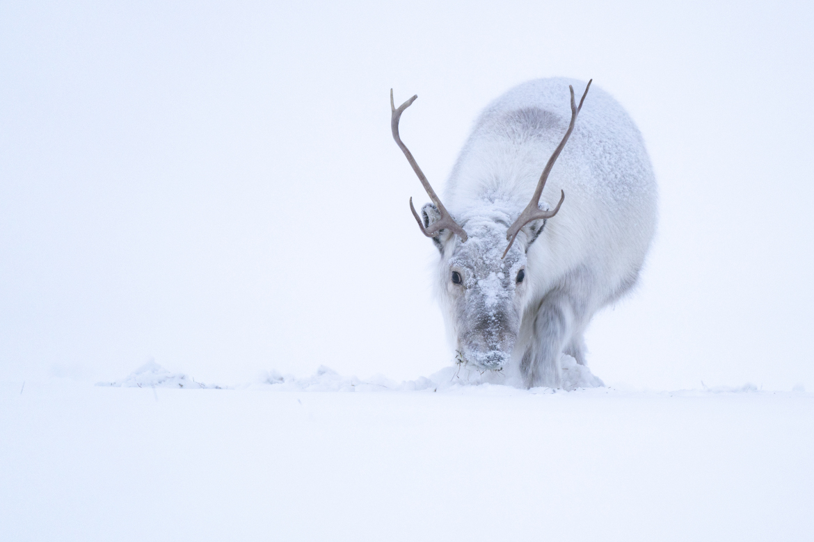
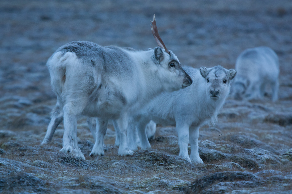
On Svalbard, Bevanda’s work now centers on applying remote sensing data, specifically UAS data for analyzing environmental conditions. These data are useful for reindeer research conducted in close collaboration with UNIS Professor Larissa Beumer. Even in these high latitudes, there is a surprisingly rich and thriving ecosystem: during the continuous daylight of summer, vegetation grows vigorously, providing essential food for this cold-adapted species. In winter, however, the landscape is buried under snow and ice, leaving the animals with little to graze on. Although Svalbard’s ecosystem has been studied for decades, much remains to be understood as the Arctic climate changes. Will Svalbard’s reindeer population have enough to eat in the future, and how can drone-based remote sensing help to predict their food availability?
To help close these gaps, Bevanda and her colleague Dr. Jakob Schwalb-Willmann use multiscale remote sensing, combining data from satellites and UAS. Satellite remote sensing provides wide coverage over time, but at coarser spatial resolution. UAS-based imaging, by contrast, captures fine-scale details of local ecosystems, enabling the modelling of parameters such as plant vitality, water availability, and snow properties.
By integrating both systems, the team can explore crucial questions such as the following: Where do specific plant species grow? Under which conditions—soil, water, light, or snow—do they thrive? Under climate change projections, how might these factors shift? And how will that affect wildlife such as Svalbard reindeer?
EORC professor Tobias Ullmann explains: "The research now conducted in the Arctic naturally continues our earlier work. With today’s advanced unoccupied aerial systems (UAS) and the outstanding infrastructure available through our collaboration with UNIS, we can study environmental processes at a level of detail that was once unimaginable.
Through our collaboration with UNIS, we can study environmental processes at a level of detail that was once unimaginable.Tobias Ullmann, Professor at the Earth Observation Cluster, JMU Würzburg
The Interplay of Snow and Vegetation
Beyond its global climatic role, snow also has strong local effects: it insulates the ground, regulates the temperature beneath, and influences the thickness of the active layer; the uppermost soil layer in permafrost regions that melts in summer.
For reindeer, this means one thing above all: snow cover directly determines food availability. "Snow can act like a protective blanket, shielding plants from icing," says Professor Larissa Beumer from UNIS. “But it can also make feeding difficult, as animals need to use tremendous energy digging through to reach the food below.”
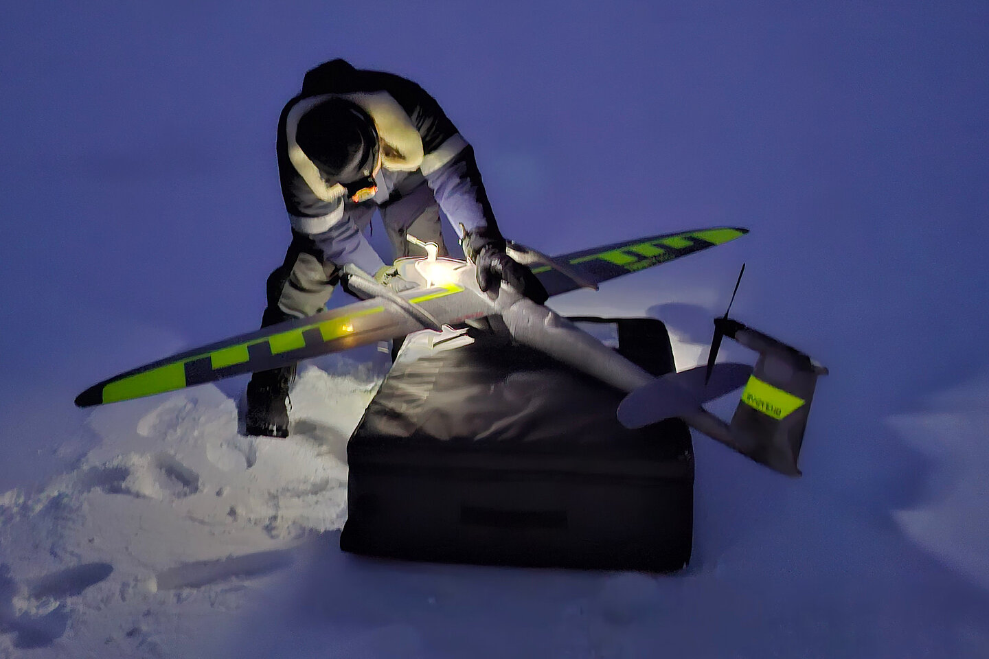
Wind and surface structure make Svalbard’s snow cover highly variable. While some ridges may be nearly bare, nearby hollows can be filled with meters of snow. Satellite sensors lack the resolution to capture this fine-scale variability. This is where the Würzburg drones come in.
Advances in animal tracking technology allow us to follow the reindeer movements throughout the year—but we lack high-resolution environmental data to explain their space use.Larissa Beumer, Associate Professor, Arctic Biology, University Centre Svalbard (UNIS)
Using a LiDAR-equipped fixed-wing drone, for example, the scientists measure snow depth by comparing digital surface models under snow-covered and snow-free conditions.
"Our initial findings show a very high spatial variability of snow depth across space and time that can only be derived from UAS-based sensors. Snow depths differ by a magnitude of ten within a few meters," states Schwalb-Willmann.
Back in Würzburg, the researchers analyze their data using custom R and Python scripts to process UAS imagery alongside satellite data. Their resulting snow maps have a resolution of 2.5 cm per pixel and are remarkably accurate, as verified by hundreds of in-situ measurements. Such precision offers valuable insight into the local ecological impacts of snow and the complex dynamics of Arctic ecosystems.
When summer arrives and ice melts, the lingering effects of snow become visible, as distribution of different plant species is strongly linked to snow conditions during winter. Areas once covered by deep snow turn into thriving wetlands carpeted in cotton grass, a feast for reindeer. Such areas form a glaring contrast to basically barren ridges or scarce heath vegetation.
Our collaboration with Würzburg opens up new analytical possibilities for research on Arctic vegetation.Simone Lang, Associate professor, Arctic Terrestrial Biology, University Centre in Svalbard (UNIS)
With these UAS data, the team also trains machine learning models to map the distribution of these vegetation types during the Arctic summer. This work is highly relevant to collaborators of the EORC working on Arctic flora.
At UNIS, Professor Simone Lang welcomes the advances: "The spatial resolution of UAS-based remote sensing finally provides the level of detail our ecological research requires. Arctic vegetation is shaped by small-scale patterns that simply cannot be captured at 10-meter resolution. Our collaboration with Würzburg opens up new analytical possibilities for my research on Arctic vegetation."
Arctic Earth Observation Partnership
The Earth Observation Research Cluster (EORC) at the University of Würzburg has established a strong collaboration with the University Centre in Svalbard (UNIS), Norway, focusing on Arctic ecosystem research through cutting-edge Earth Observation technologies.
Research Focus Areas
- Arctic vegetation phenology and patterns
- Animal-environment interactions (Svalbard reindeer)
- Snow properties and hydrology and its dynamics
- Glacier and sea ice monitoring
- High-resolution topographic mapping (cm-resolution LiDAR)
Technologies & Methods
- VTOL drone systems for Arctic conditions
- Multispectral, thermal, and LiDAR sensors
- Differential GNSS for ground truthing
- Satellite Earth Observation integration
- Arctic field work under winter and summer conditions
Research and Teaching Opportunities for PhD Candidates and Postdocs
- Co-supervised master's and doctoral theses
- Access to polar field research environments and joint fieldwork campaigns across the archipelago
- Arctic Winter Ecology Course, guest lectures and field-based training, e.g. “Snow and Ice Processes” or "Spacial Data Analysis"
- English Master's Program EAGLE
More Information and Contact
Earth Observation Research Cluster, JMU Würzburg
M.Sc. Applied Earth Observation and Geoanalysis (EAGLE)
Testing New Methods on Germany’s Highest Mountain
The EORC team also tests its techniques in another spectacular environment: on the Zugspitze, Germany’s highest peak. Here, the University of Würzburg works closely with the Environmental Research Station Schneefernerhaus (UFS). The research there is also connected to ongoing climate adaptation projects in Bavaria such as EO4CAM, a joint research project of the University of Würzburg and the German Aerospace Center (DLR-DFD).
These projects link Arctic and Alpine research by examining how climate change affects ecosystems in both regions. Combining advanced remote sensing methods with on-site environmental data enables the scientists to better understand how climate processes play out—from Bavaria to the Arctic Circle.