
Erste Weltkarte zeigt Einfluss der Gezeiten auf Küstenflüsse Tamlin Pavelsky, Tamlin Pavelsky / University of North Carolina
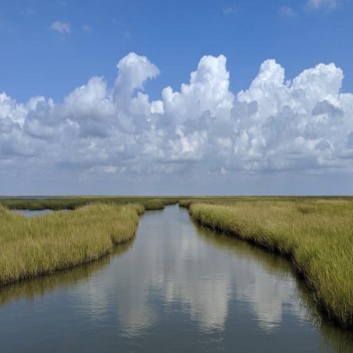
Tides not only affect regions along the coast, their periodic fluctuations are carried upstream inland through coastal rivers. River sections particularly affected by these tidal pulses are exposed to an increased risk of flooding.It is therefore important to localize these regions, as well as the extent of the river tide. However, until now, a global and accurate overview has not yet been established. A research team led by TUM has conducted the first global evaluation, based on high-resolution satellite data, and presented it in an interactive map.
Over 725 million people worldwide are influenced by river tides
The map closes a major gap in global data on river tides. “We can track exactly where, when, and how high the tides are propagated in coastal rivers”, says Michael Hart-Davis from the Deutsches Geodätisches Forschungsinstitut (DGFI-TUM) at the TUM School of Engineering and Design, who led the research team. “For the more than 725 million people worldwide who are directly affected by the river tide, this information can be vital in the event of flooding and for freshwater availability.”
Even long-term development can be observed with the map. As sea levels change with advancing climate change, high-risk flood zones will also shift. The available data enables to record these changes globally and provides a valuable basis for adaptation through protective measures.
Data for more than 3,000 rivers
The researchers evaluated data from over 3,000 rivers worldwide. This compiles the most comprehensive database of the tidal pulse in coastal rivers to date. The results, published in the science magazine Nature, show that over 175,000 kilometers of coastal rivers worldwide are significantly influenced by the tide.
The data can also be used to show how many kilometres the tidal pulse travels along a river. In the Amazon, for example, this occurs up to 892 km upstream from the river’s mouth at the ocean.
Contact for scientific information:
Dr. Michael Hart-Davis
Deutsches Geodätisches Forschungsinstitut (DGFI-TUM)
michael.hart-davis@tum.de
Original publication:
Hart-Davis M.G., Scherer D., Schwatke C., Sawyer A., Pavelsky T., Ray R.D., Matte P., Dettmering D, Seitz F. Observing the tidal pulse of rivers from wide-swath satellite altimetry. Nature. https://doi.org/10.21203/rs.3.rs-6825606/v1
Corrections
01.01.1970